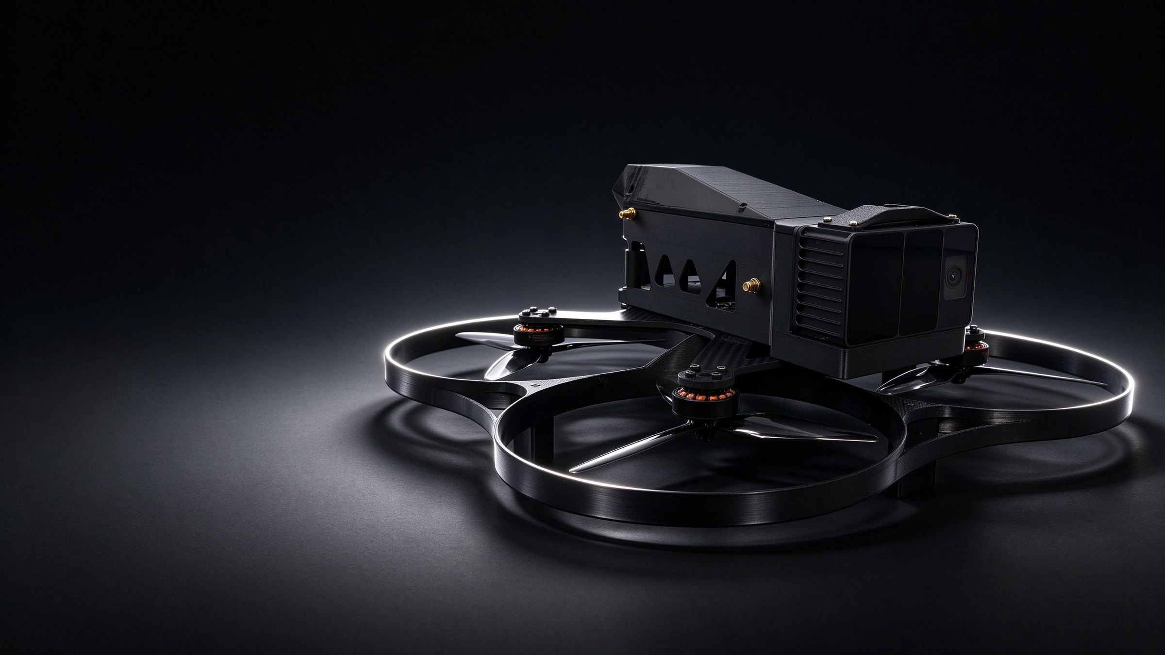
Industrial drone
ZHONGMING
Industrial UAV for research and surveying
A confined-space UAV for tunnels, industrial surveying and research, with GNSS-denied flight, 3D colour point clouds and repeatable routes.
- Take-off weight
- 1.6 kg
- Flight time
- 15–17 min
- Onboard compute
- 157 TOPS
- Link range
- 6–10 km
01 / Products
Core products
ZHONGMING and DZI-01, combined by scenario.
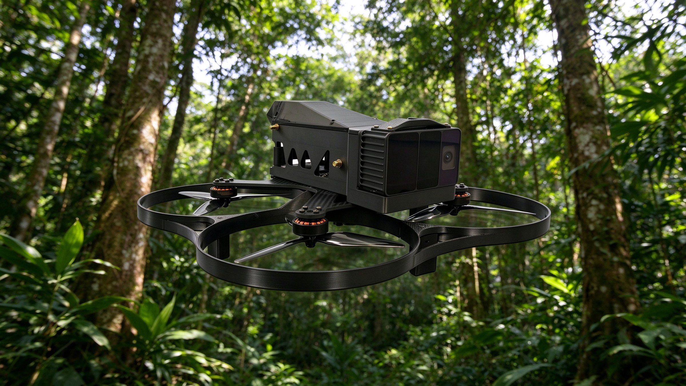
Forestry · GNSS denied
No path through the forest. Still flies in.
LiDAR and depth cameras map dense forest and tunnels in real time — stable flight without GNSS, with colour point clouds brought back to the ground.
- GNSS-denied flight
- Colour point clouds
- Route replay
Subsurface · Air-ground team
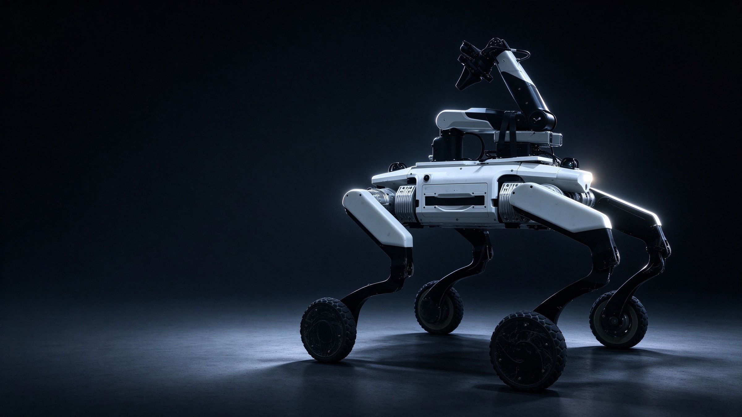
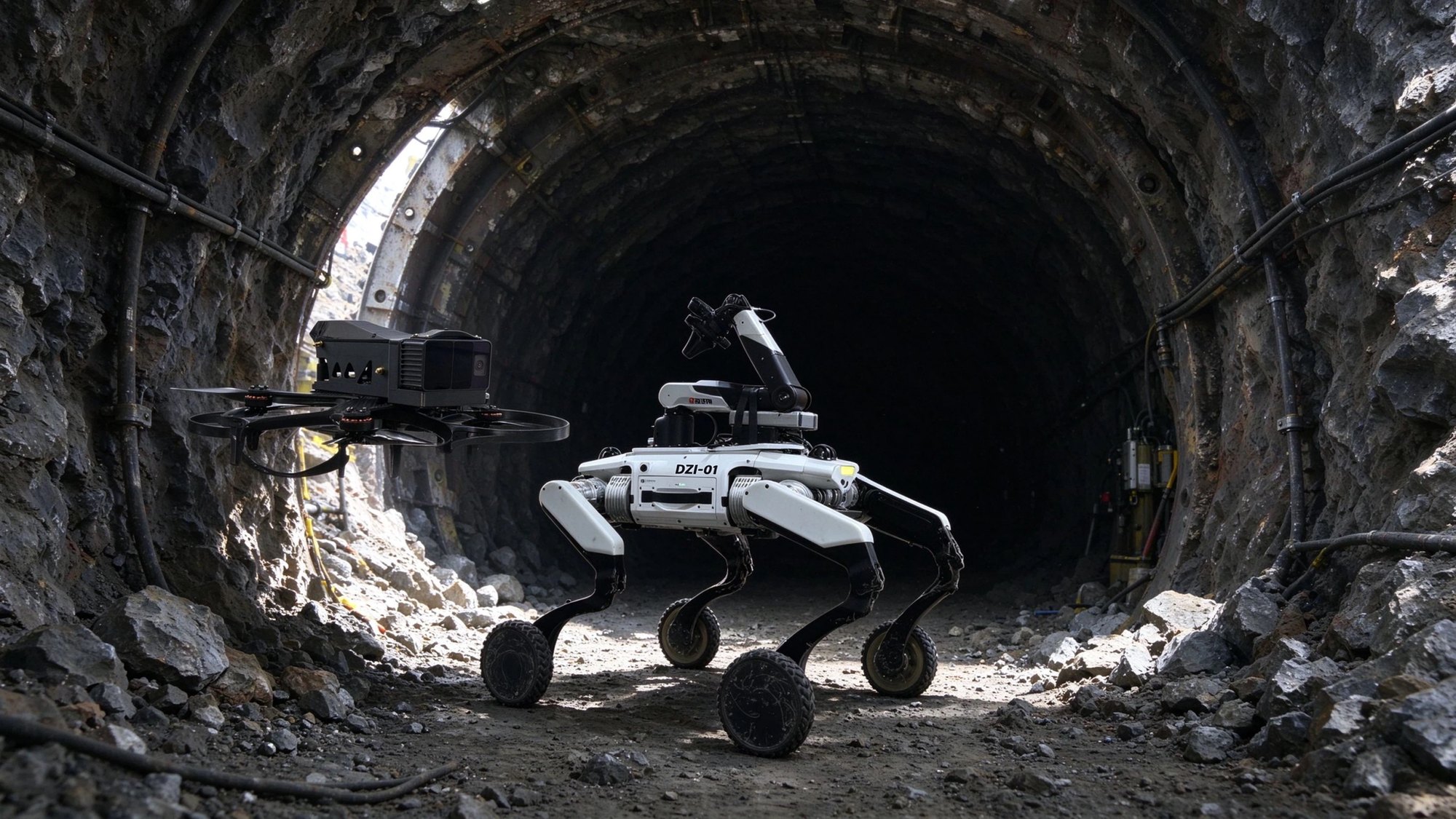
At the tunnel face, the drone and the robot go first
Without GNSS, ZHONGMING flies the scan and builds the colour point cloud while DZI-01 inspects the ground up close. People stay in the safe zone.
- GNSS denied
- 80 cm obstacle
- IP67
02 / Solutions
Solutions
Hardware, platform and operating workflow delivered by industry — not just a machine.
Air · Space · Ground
Integrated Smart Forestry Monitoring and Management Solution
Combining UAV-based aerial surveying, ground patrols by wheel-legged quadruped robots and 3D laser scanning, the solution builds a monitoring system that sees from the sky, captures from the air, inspects on the ground and manages in the cloud. It covers forest fire warning, pest and disease identification, ecological monitoring and anti-poaching patrols.
Air · Space · Ground
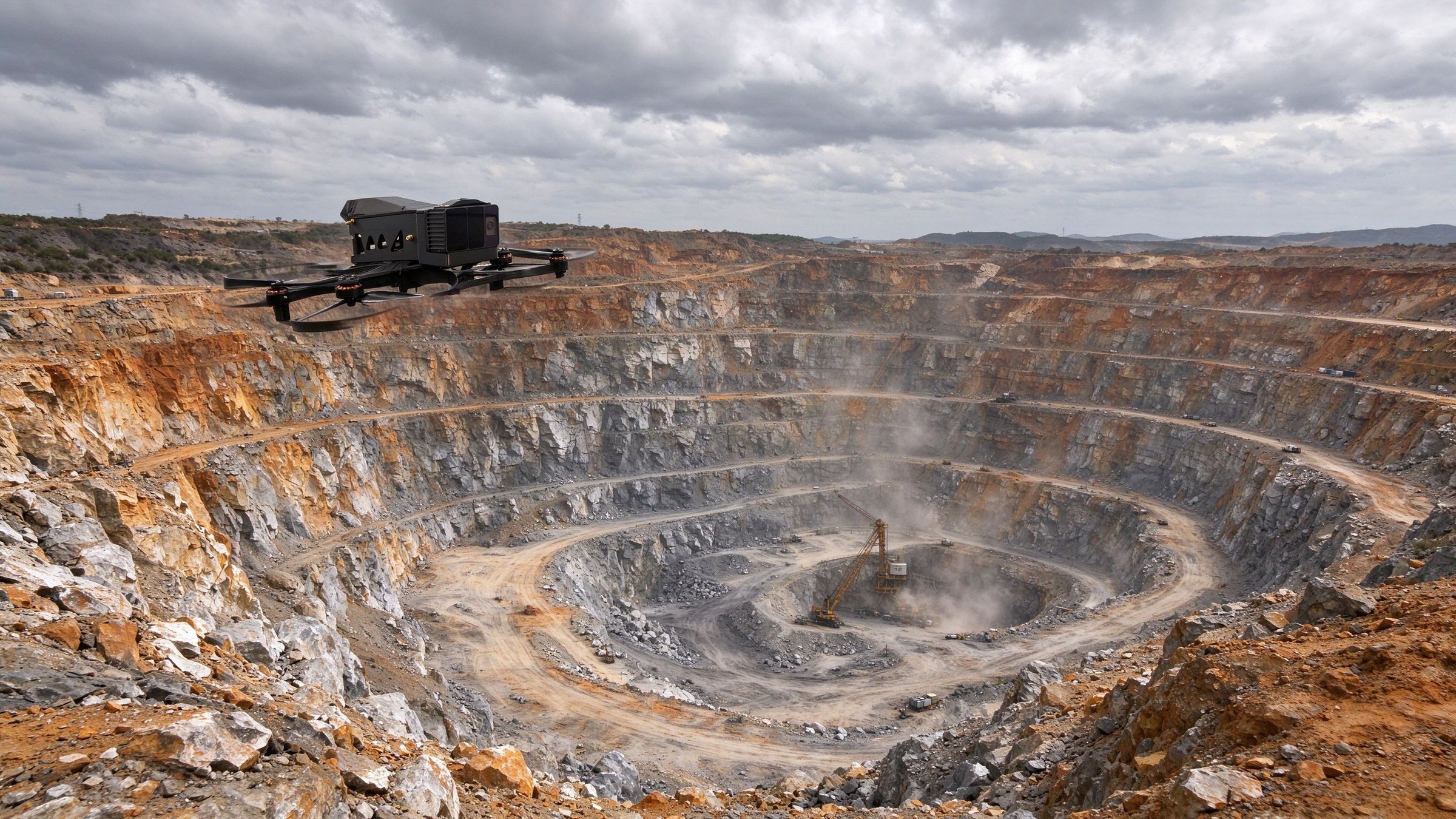
Integrated Air-Ground Inspection Solution for Mines and Tunnels
Designed for open-pit mines and underground tunnels, this solution combines UAV surveying with wheel-legged robot operations for slope monitoring, tunnel hazard detection, gas detection and remote safety inspection. 3D point-cloud modelling and AI vision reduce the need for people to enter hazardous areas and confined spaces.
03 / About
Turning complex sites into computable ground
DZI delivers robotic systems for mines, forests, airports and subsurface spaces. We do not just ship hardware — we connect it to the customer's workflow, so every inspection leaves a traceable record.
Inspection in complex environments — safer, more autonomous, more intelligent.Talk to sales