
Solutions
Solutions
Capture, reconstruction and response connected into one workflow per industry.
01 / Solution
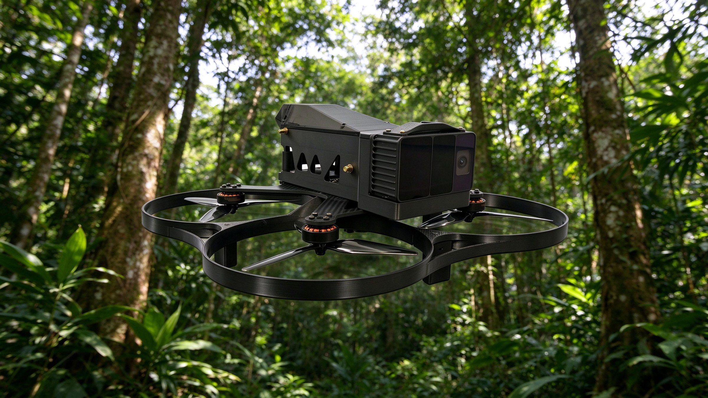
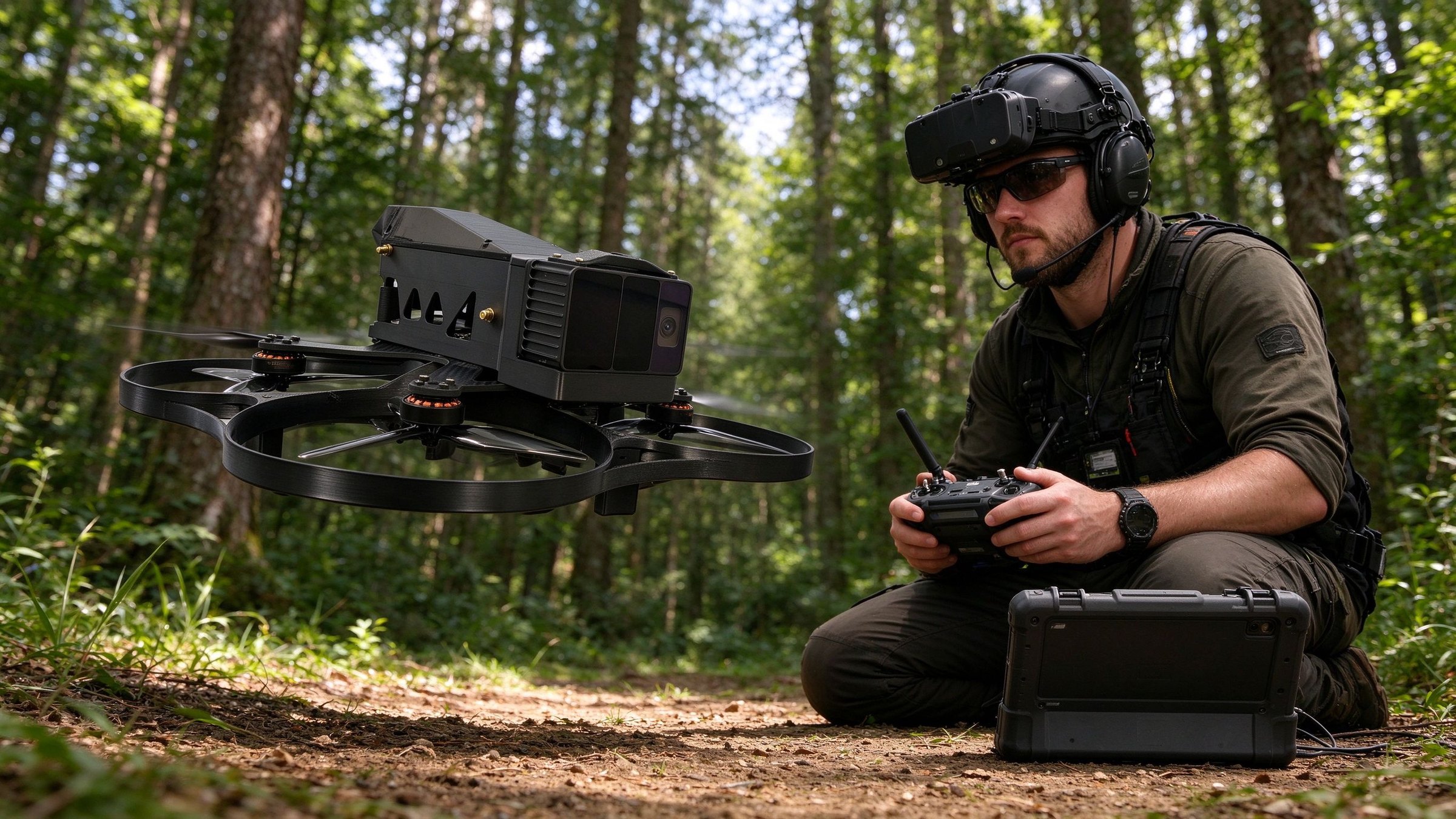
Integrated Smart Forestry Monitoring and Management Solution
Combining UAV-based aerial surveying, ground patrols by wheel-legged quadruped robots and 3D laser scanning, the solution builds a monitoring system that sees from the sky, captures from the air, inspects on the ground and manages in the cloud. It covers forest fire warning, pest and disease identification, ecological monitoring and anti-poaching patrols.
- No blind spots: UAVs and quadruped robots cover terrain that people cannot reach
- Proactive warning: AI detects fire, pests and intrusion before incidents escalate
- Traceable data: multi-sensor records feed standard logs and a digital twin
Architecture
Aerial survey and patrol
Remote sensing and point clouds
Wheel-legged robot patrol
Products involved
Discuss this solution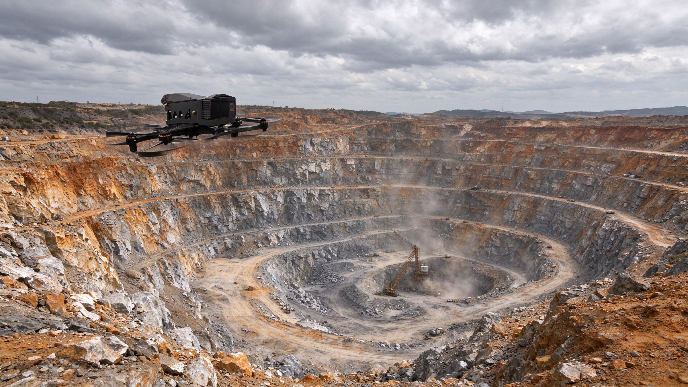
02 / Solution
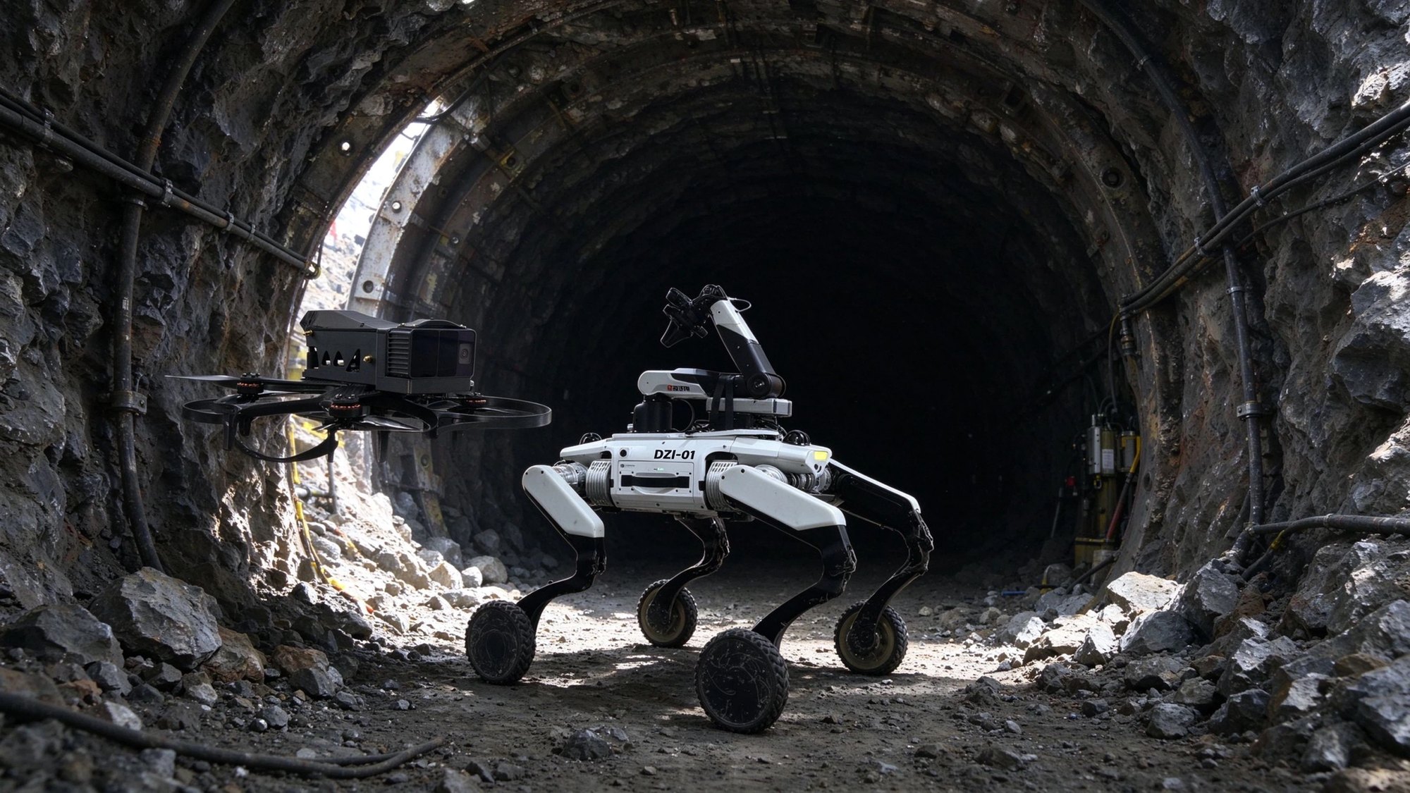
Integrated Air-Ground Inspection Solution for Mines and Tunnels
Designed for open-pit mines and underground tunnels, this solution combines UAV surveying with wheel-legged robot operations for slope monitoring, tunnel hazard detection, gas detection and remote safety inspection. 3D point-cloud modelling and AI vision reduce the need for people to enter hazardous areas and confined spaces.
- Reduced exposure: UAVs and robots enter pits and tunnels people cannot safely reach
- 3D records: point clouds support slope deformation and hazard comparison
- Closed-loop safety: real-time alerts, remote broadcast and traceable inspection records
Architecture
Aerial survey and inspection
3D point-cloud modelling
Wheel-legged robot in tunnels
Products involved
Discuss this solution