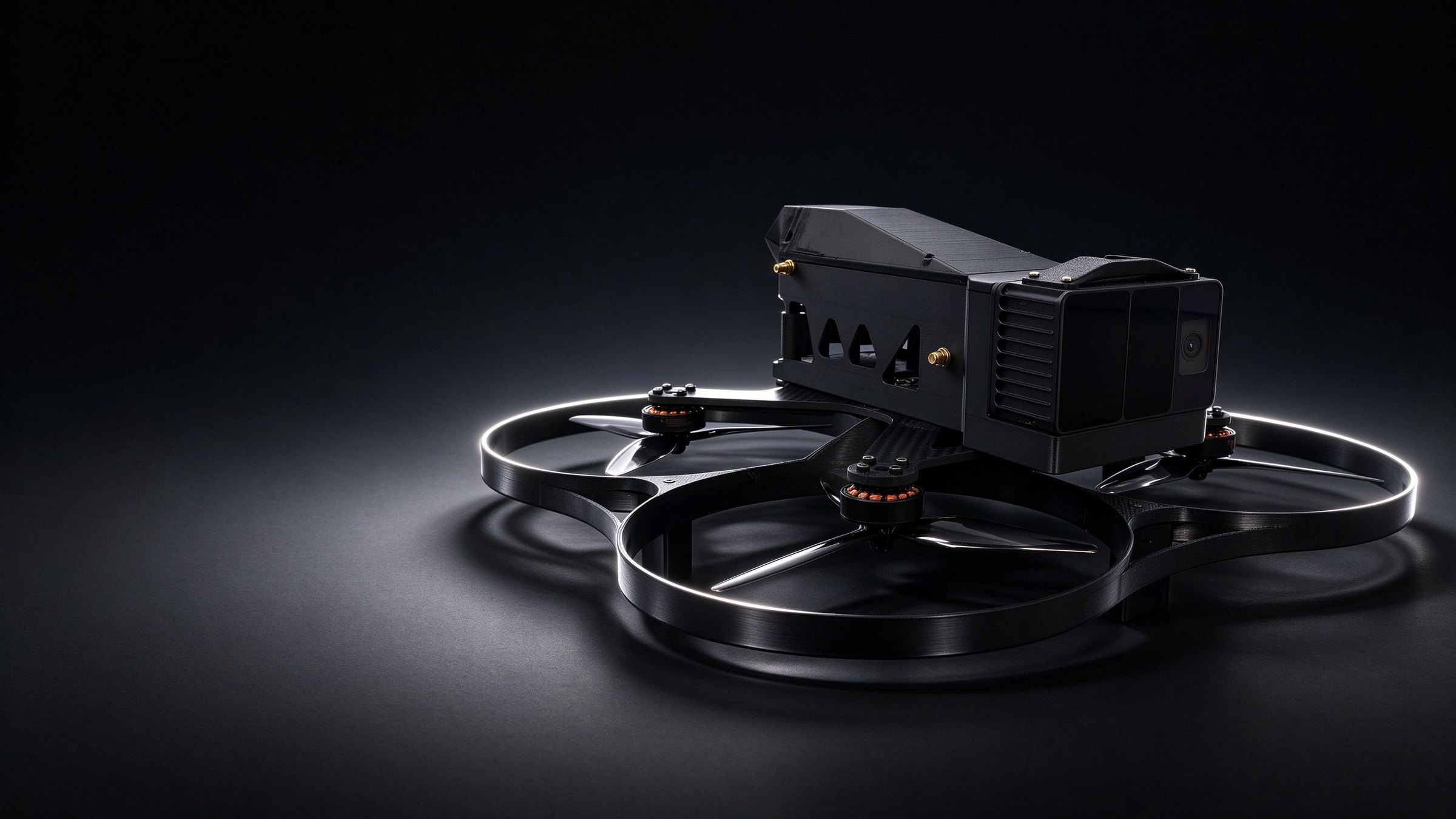
Industrial drone
ZHONGMING
Industrial UAV for research and surveying
A confined-space UAV for tunnels, industrial surveying and research, with GNSS-denied flight, 3D colour point clouds and repeatable routes.
- Take-off weight
- 1.6 kg
- Flight time
- 15–17 min
- Onboard compute
- 157 TOPS
- Link range
- 6–10 km
Overview
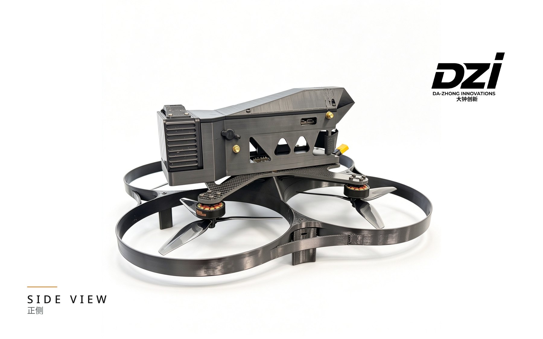
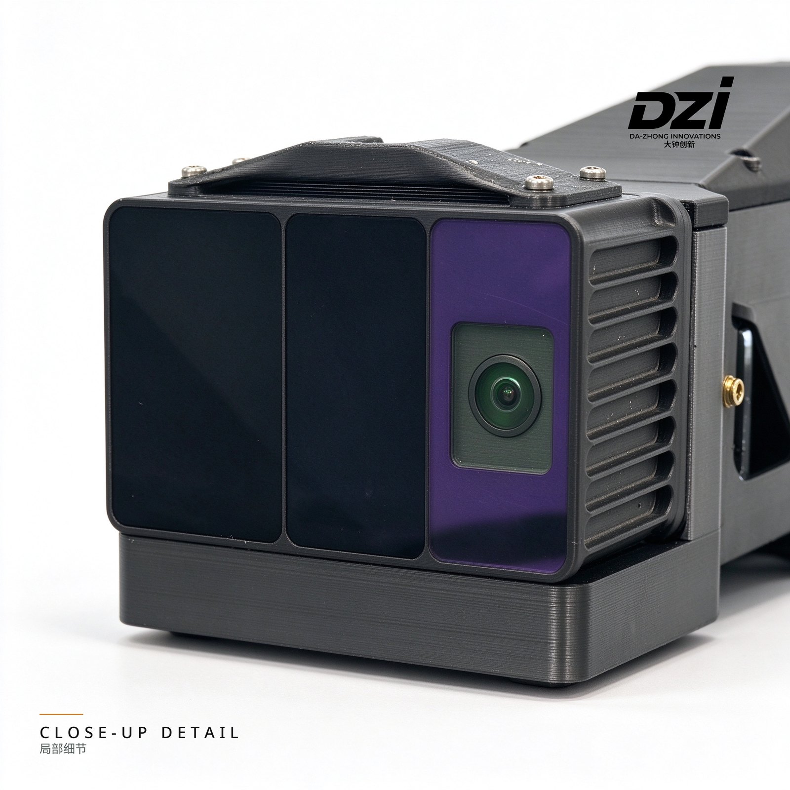
ZHONGMING carries a Livox MID-360S LiDAR and Intel RealSense D435 depth camera on a compact 7-inch frame, powered by Jetson Orin NX SUPER with a full development stack.
Highlights
01
GNSS-denied flight
Multi-sensor localisation keeps flight stable in tunnels and mines without satellite signals.
02
360° colour point cloud
The MID-360S scans all around to produce measurable colour point clouds in real time.
03
One-click route replay
Record a route once and replay it for repeat surveys.
04
Open development
ROS, SDK and Linux for custom algorithms and additional sensors.
Specifications
Aircraft
- Model
- ZHONGMING
- Take-off weight
- 1,600 g (max. 2,000 g)
- Dimensions
- 405 × 405 × 235 mm
- Propellers
- 7-inch / 3-blade
- Flight time
- 15–17 min
- Speed
- 3 m/s
- Wind resistance
- Level 5
Perception
- LiDAR
- Livox MID-360S (360° × 59°)
- Point rate
- 200,000 points/s
- Depth camera
- Intel RealSense D435 (0.2–10 m)
- Mapping
- Real-time 3D colour point cloud
Compute & link
- Onboard compute
- 157 TOPS (Jetson Orin NX SUPER 16G)
- Link
- SDR 3-in-1, air-to-ground 6–10 km
- Control
- Touchscreen controller with route replay
Environment & SDK
- Operating temperature
- -20 to 45 °C
- Protection
- Dust / splash resistant
- Interfaces
- ROS / SDK / Linux
- Customisation
- Custom algorithms and additional sensors
Use cases
- Tunnels & utility corridors
- Industrial survey
- Research & teaching
- Bridges & structures
- Mines & voids